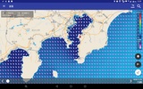
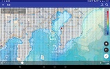
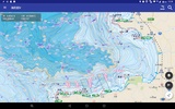
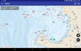
海釣図V is an advanced sea fishing app designed for Android devices with GPS functionality and at least 4GB of RAM. Tailored for fishing enthusiasts, it provides detailed and user-friendly maps that enhance your fishing experience along the coastlines of Japan. By utilizing data from the Electronic Nautical Reference Map New PEC, it presents color-coded contour lines, clearly marks fishing points such as fish reefs and roots, and identifies fishing ports, marinas, and sea stations. Additionally, it outlines hazardous spots like dark rocks or shallow areas, ensuring safer fishing expeditions.
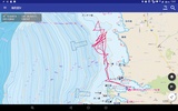
The app excels in offering seamless navigation and intuitive controls, allowing you to swipe, zoom in, or zoom out effortlessly. Its compatibility with regular New PEC updates four times a year ensures users have access to the most accurate and recent information available. With its built-in GPS logging feature, you can save fishing routes, associate photos with your trips, and create a detailed fishing diary. There are also options to register custom fishing points, share them with others, and back up data for added reliability when switching devices or in case of issues.
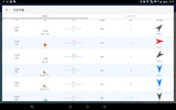
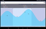
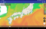
Moreover, real-time weather and ocean condition displays provide critical data, including wind direction, wave heights, and sea surface temperatures, supporting you in making informed decisions during fishing trips. Subscribing to the app’s monthly plan unlocks additional map features and detailed weather forecasts.海釣図V is an indispensable tool for avid sea fishers seeking precise navigation, comprehensive mapping, and an enhanced fishing experience.
Requirements (Latest version)
- Android 10 or higher required



Comments
There are no opinions about 海釣図V yet. Be the first! Comment